


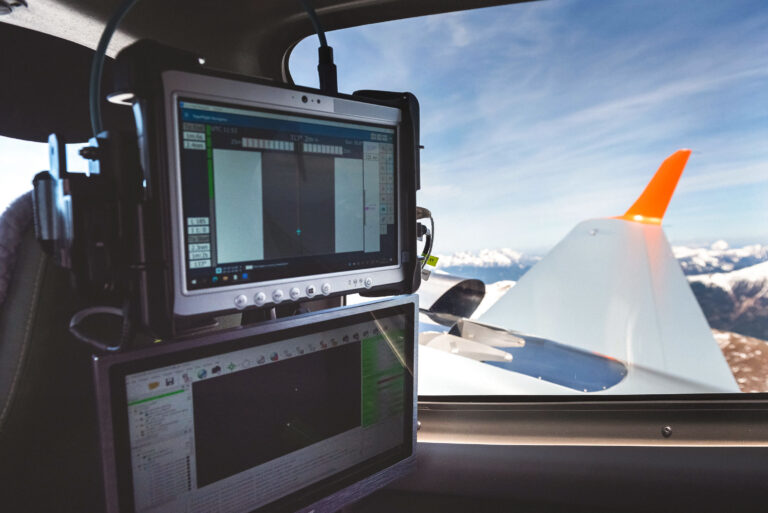


We are the only provider in Slovenia and the wider region offering comprehensive and integrated solutions in the field of remote sensing, geospatial data analysis and GIS solutions.
We offer our clients both data acquisition (LiDAR and orthophoto) as well as the management, visualization, and maintenance of spatial data within our own geographic information system – LIFT.
At the heart of everything we do is a commitment to sustainability and the well-being of communities around us.
Our commitment is reflected in the strategy of sustainable and circular business. We follow ESG standards (environmental, social, governance) which are fully integrated into our strategic planning and sustainable business decisions.
We believe our success is built on the strength of our employees. Our mission is to empower people by fostering growth, supporting their well-being and promoting continuous development. We value professionalism, proactivity and commitment to collaboration.
We are looking for professionals from various fields and offer a great springboard for young people.
Check the vacancies and become part of our open and diverse team.
Our guiding principle is sustainability and social responsibility towards our employees, the environment and the wider community.
For us, teamwork and a team approach is the essence that we nurture in our relations with everyone.
We ensure a safe working environment and rigorous compliance with safety standards.
Our services and products are tailored to our customers' needs.
We are committed to continuous development and are constantly looking for new opportunities.
We are committed to quality and comprehensive solutions and maintain a high standard of quality.
This website uses cookies to enhance your experience. Some are essential for site functionality, while others help us analyze and improve your usage experience. Please review your options and make your choice.
If you are under 16 years old, please ensure that you have received consent from your parent or guardian for any non-essential cookies.
Your privacy is important to us. You can adjust your cookie settings at any time. For more information about how we use data, please read our privacy policy. You may change your preferences at any time by clicking on the settings button below.
Note that if you choose to disable some types of cookies, it may impact your experience of the site and the services we are able to offer.
Some required resources have been blocked, which can affect third-party services and may cause the site to not function properly.
This website uses cookies to enhance your browsing experience and ensure the site functions properly. By continuing to use this site, you acknowledge and accept our use of cookies.